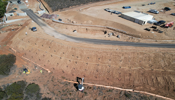
NeboScan uses Unmanned Aircraft Systems (UAS or drones) for photo and video recording of landscape and objects located on them. Our experienced UAS pilots operate drones equipped with high resolution and wide zoom optic tool, includes thermal camera, which allows to get detailed picture of construction site or development land and present photos, panoramas and videos to contractors and investors. Also, we provide our customers with documented evidence of every stage of the project and completed project, using aerial and ground imagery (Current and Post Construction Survey).