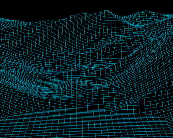
LIDAR (Light Detection and Ranging) is a remote sensing method used to detect objects in real space with a high level of precision and accuracy. The drone equipped with LIDAR flies over construction site or another objects and gathering laser signals reflected from surface and structures, complies them with GPS data and IMU (Inertial Measurement Unit) to create a digital picture of the scanned area. This product is precise and helpful tool for professional surveyors and geotechnical engineers.