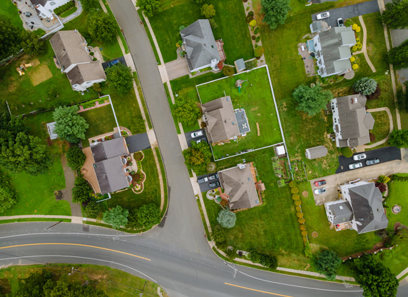
Deploy drone over construction or development objects for aerial photography, NeboScan gathers necessary info for creating 2D and 3D models of them. These products allow to reduce cost and time usually spent on conducting inspections and document preparation, help contractors to coordinate on site activity and plan earthworks with more accuracy. Also, we offer to make virtual tours of erecting objects and completed projects, which provides customers and investors with necessary information.