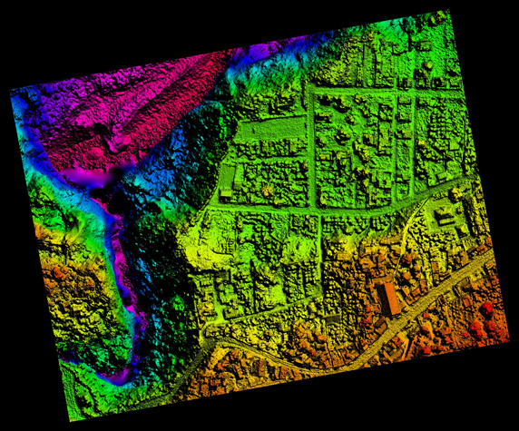
Topographic survey is the work involved to create a set of topographic maps or terrain plans by measuring distances, heights, angles, etc. using various tools for a ground survey, as well as obtaining images of the earth’s surface from unmanned aircraft systems (UAS) using aerial photography and creating maps, 3D city and landscape models. obtained from a UAS.

Plans are created based on the results of engineering and geodetic surveys. Before performing a topographic survey, a network of geodetic points with known coordinates is created. It is possible to create a survey substantiation by satellite methods, using geodetic receivers of global positioning systems. Topographic survey in geodesy can be performed in many ways including polar, alignment, and perpendicular methods among others.
Prices depend on the size and topography of the site (flat or with large elevation changes), the amount of vegetation (trees, shrubs), and the number of buildings on the site. Estimated work costs can be found on this page . The cost of geodetic works for large (industrial) facilities can be found on the page with prices for geodetic works .